
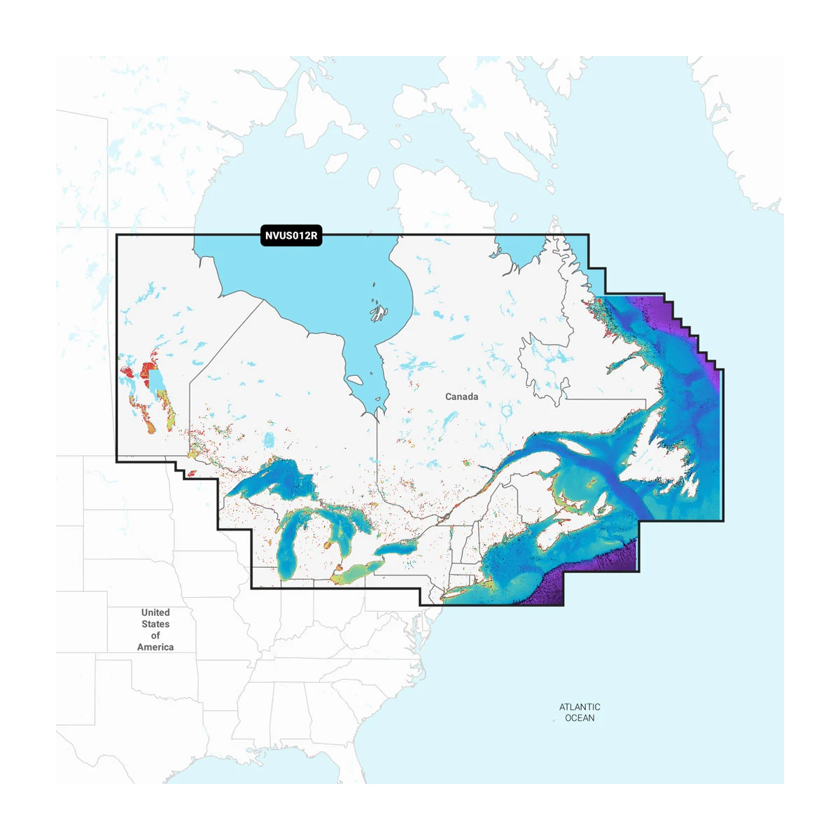
Canada, East & Great Lakes - Lakes, Rivers and Coastal Marine Charts Garmin Navionics Vision+™ | NVUS012R | microSD™/SD™ and One-year Subscription
-
Detail
Lorem Ipsum Video
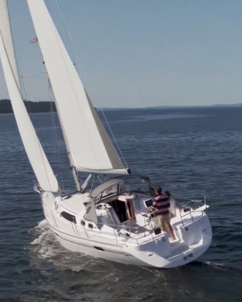
Featuring vibrant colors, a streamlined interface and combined coastal/inland content with a popular Navionics® style color palette, Garmin Navionics+ cartography makes it easy to plot your course with the world’s No. 1 name in marine mapping1.

Navigate with our best offshore and inland lake coverage for your Garmin chartplotter.

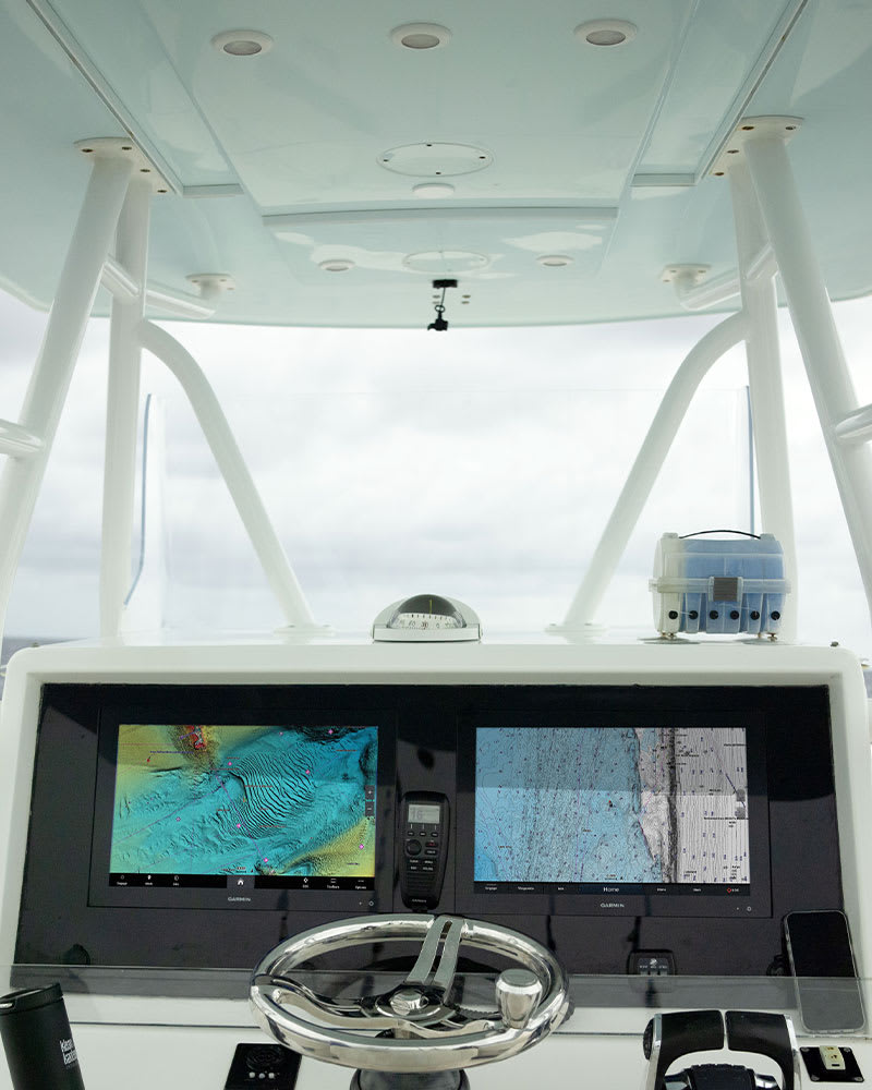
See it your way. Customize your view with various chart layers and overlay combinations.

With your included one-year subscription, access daily updates via the ActiveCaptain® smart-device app.

Auto Guidance+™ technology2 lets you navigate with suggested dock-to-dock routings.

Select up to 10 color-shaded target depth ranges to scope out the best fishing spots.

Save money by renewing your subscription — and continue accessing daily updates plus new content downloads.
Customer ReviewsNo comments